AR that actually
works on real
jobsites.
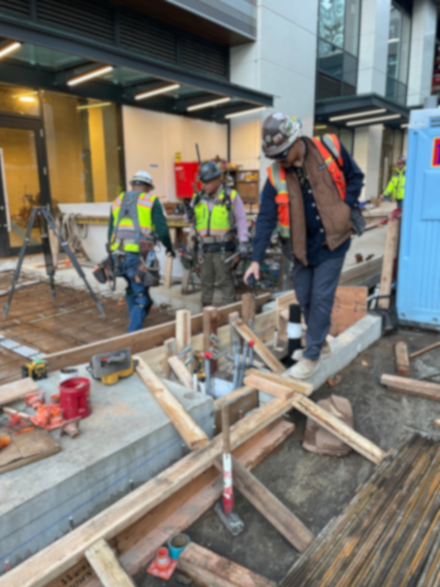
AR that responds to every environment you'll face — not just a demo. Argyle is built for the conditions where most tools stop working.
fail in the field.
So teams stop trusting it. The tools get shelved, the practice goes untried, and field teams go back to paper.
Drift increases as you move
The further you walk from the calibration point, the less you can trust what you see.
Alignment breaks across floors and distances
Multi-story alignment is nearly impossible with existing tools.
Setups are fragile and hard to repeat
Every shift means starting over. Workflows that depend on repeatability don't survive.
"Site-wide alignment" — with a catch
Other platforms claim full-site coverage, but require pre-scanning every area or deploying dozens of beacons and QR codes before a single person can work. The setup overhead defeats the purpose.
across real conditions.
Walk hundreds of feet. Move across floors. Maintain alignment — without pre-scanning areas, without deploying a network of beacons, without constantly recalibrating. Drop an anchor and go. This is what makes AR usable for real construction work.
A spatial operating
system for the site.
Sites become structured spatial datasets with shared coordinates. Argyle understands where you are — and surfaces the right data in context.
An AR viewer — a passive overlay with no site context
in five steps.
No disruption to the construction workflow. No re-anchoring every floor.
your systems.
Argyle doesn't create another silo. It connects field reality to your existing project management infrastructure.
Bring it into Active construction.
already uses.
Argyle meets your crew where they are — from the most accessible device on site to dedicated spatial computing hardware.
from day one.
Built for organizations where project data is sensitive and security is non-negotiable.
Real outcomes.